
Monday 29th. April 2013: One of the beauties of a bicycle is that it provides a great way to explore – alright perhaps not up Everest, but round the Flatlands it is great. When I was a boy growing up in Somerset rights of way weren’t something that featured particularly as we roamed around the countryside. Farmers and Landowners weren’t too bother either. There was quite a lot of livestock and as long as you didn’t frighten the animals then no-one seemed to bother. Except once when a farmer waved his shotgun in our general direction as we walked along a mud track in the middle of an empty field. We reckoned he was off to do a bit of shooting and didn’t want us around. Whether for our safety or his poaching we never knew.
After I had left home someone got permission to build a “farm house” near my parent’s house by setting up a smallholding and keeping a few animals. They then set about closing off all the informal paths that existed - which was a great shame but nowadays such things are more jealously guarded. I think there was some attempt to have the paths reinstated – but my parents didn’t want to get into a battle with their neighbours so kept out of it.
When I got to the Flatlands I used to think that it was even worse for countryside access than Somerset. However as I have gotten to know the area and I realise that although there is a lot of arable farming there are also a lot of tracks and byways and bridleways.
The great 6thing about a bicycle is that it provides transport to the area of countryside you wish to visit and transport around that area of countryside. Walking is ok, but a lot of the walkers I know all seem to have to drive to their various walks. Which seems to slightly defeat the purpose if you ask me. Still, it is better to drive and then walk than to do no walking at all.
I don’t carry a map with me very often when cycling, unless I am venturing out into areas I have no clue about. I don’t generally follow the map on my GPS either, I just use that to record my rides.
I have cycled along the byway alongside Swaffham Bulbeck Lode for a while so that is where I headed. I’ve just noticed that my routing on the BRT map is slightly wrong – when I cycled alongside the Lode I cycled along Fen lane on the right bank of the Lode. I didn’t swap over from left to right as it shows on the link – sorry. Must pay more attention. Here is the Bike Route Toaster link, the distance was about 50Km – no hills, but a few byways and bridleways. (A bit further along the Lode the map route suggests I hopped again to the left bank – I didn't. )
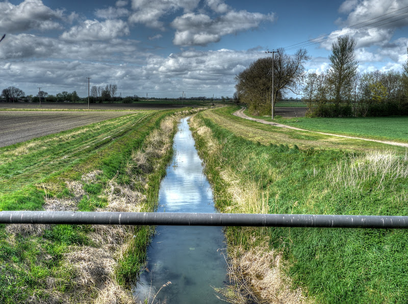
This is a picture of Swaffham Bulbeck Lode - taken from the right (and correct) bank. That is an old railway bridge – a remnant of the Cambridge to Mildenhall Railway Line. When I look at it now, I reckon either the surrounding land has shrunk since it was first built – or that there was an earth ramp that has been removed. The line was built in 1884, but there was no station for Swaffham Prior. Strangely they did rename a road from Gutter Lane to Station Road.
Swaffham Bulbeck Lode Railway Bridge

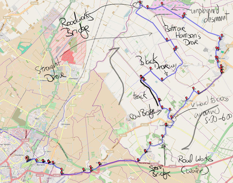
Here is a map of my route and here is the slightly dodgy Bike Rote Toaster Link. A shade over 50Km and it takes in a few bridleways and byways.
Map of my Ride
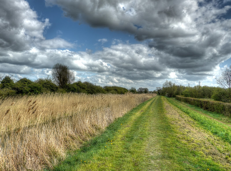
This is the view looking north from the railway bridge. The byway is to the right and hard-packed mud for a short distance when it becomes a grass track.
View of the Swaffham Bulbeck Lode from the Railway Bridge
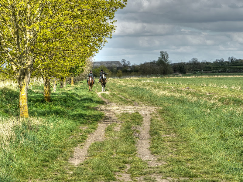
The track was pleasantly cycle-able though there are ruts, but they are not too deep. One reaching Whiteway Drove I headed back down to Swaffham Prior and then turned off towards Reach on Black Droveway. I stopped to take a picture of there horse riders and then waited until they went past before carrying on. Bits of the track require concentration so it was easier to let them get past.
Horse riders on Black Droveway
I crossed the road onto another byway on the outskirts of Reach – called Blackberry Droveway. I used it for a change as Barston Drove (the road bit|) into Reach is hardly a busy road. It leads onto Straight Drove which heads out of Reach not quite parallel with Reach Lode towards Upware. A short way along you can turn right along a track past a pool (on your right) and then turn right onto Reach Lode underbank track.
You then reach a sign about Tubney Fen – 250 acres, acquired in 2005.
Tubney Fen Information Board – Reach Lode

This is the under bank track with Reach Lode to the right – although higher than the level of the track. The NT must encourage horse riding along here as they have the concrete mounting blocks in place. (I think they also assume horse riders will cross Tubney Fen.)
Reach Lode – Under bank

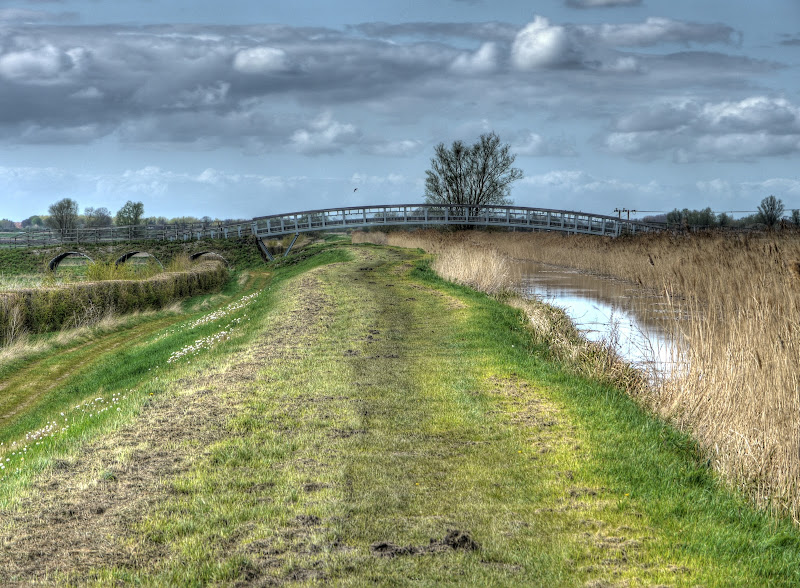
This is the view form the top of the bank – where most people walk. If you zoom in on the picture you can see the bridge that was built over Reach Lode as part of the Lodes Way route construction. Without the benefit of zoom, as you can see it is not some huge monstrosity.
Reach Lode

The view looking back towards Reach – there are a few pools to the right which I think are fished by a club, but I could be wrong.
Reach Lode – looking towards Reach
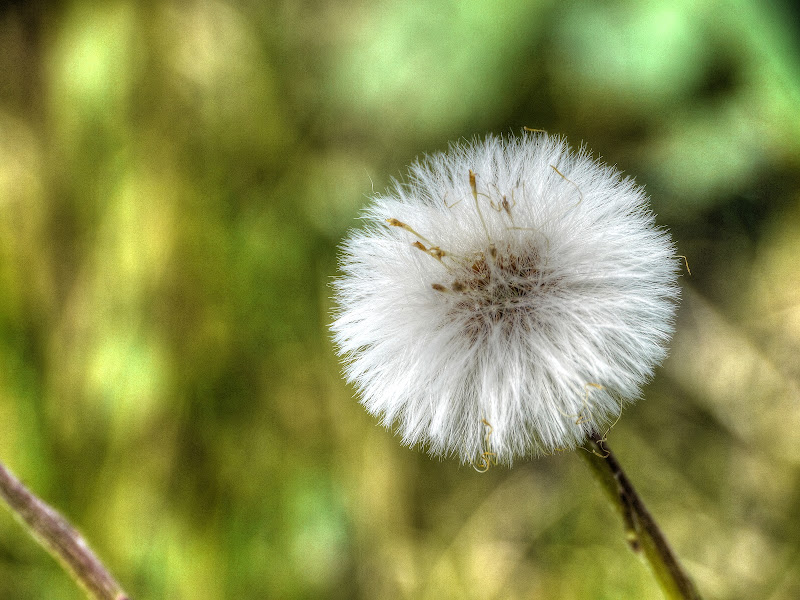
In the last picture were some dandelions – there were clocks as well.
Dandelion Clock
This is a zoomed view looking North – the bridge is a bit more visible. I cycled on the under bank it was easier than cycling on top.
Reach Lode Cycle Bridge
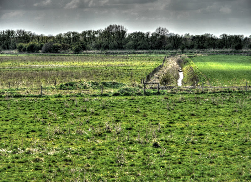
The fields around here are a patchwork of scrub, grazing and arable. The byway I started on runs along that fence in the mid-ground. (Straight Drove) There are still a lot of drainage ditches around these parts – fairly full as well.
Straight Drove
For some reason another view to the north looking along Reach Lode. Again with low zoom the bridge disappears – that patch of white on the left bank is a patch of dandelion clocks.
Reach Lode Bank

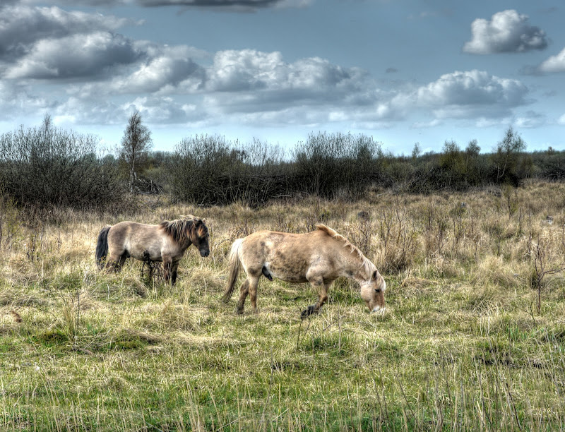
After that I cycled up Harrison’s Drove and then down down the other side of Reach Lode and along Wicken Lode. The Konik Ponies were grazing on the other side.
The Konik Ponies of Wicken Fen
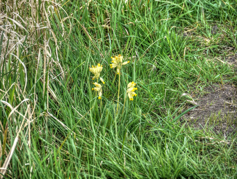
There were also some yellow flowers on the banks of Wicken Lode.
Cowslips alongside Wicken Lode
After that I headed down Harrison's Drove (the other one). This time I almost fell of my bike – but landed on my feet. (I have fallen off in front of walkers before now on this stretch of bridleway.)
This rather bucolic scene just had to have its picture taken.
Wet Meadows – Wicken Fen

I forgot to mention there4 were road works on the bridge at Upware and Stone Bridge near Swaffham Bulbeck. \both had traffic lights in place, the lights at Upware didn’t seem to “see” me, I waited for ages to cross. I was able to bypass the lights on the Stone Bridge, although the excavation was on the pavement – this was an Anglian Water pipe. Perhaps they were connecting the sewage line to the fresh water line?
Also it takes ages to cross the road in Swaffham Bulbeck (B1102) to go up Heath Road – all those people heading home in their tin cans make this road a very unpleasant on to cross.
No comments:
Post a Comment