
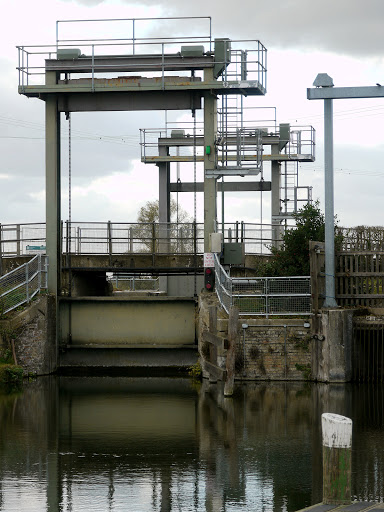
It seems that the days are alternating between sunny and gloomy, although we have had a little bit of run as well. I've been enjoying cycling along the by-ways and rough tracks and beaten up roads between Upware and Reach so much that I find myself being drawn to them each day. Close by are Burwell Lode and Reach lode - one-way Lodes and the only way out is through a lock at Upware, which then joins the River Cam. Here is the lock, not a wooden old-fashioned lock, a modern motorised contraption. Although according to Wikipedia it was built in 1957. It was the railways in the 1850s that caused the reduction in waterways trade, followed by the roads taking away the railway trade. Whilst looking for information about the lock I came across this blog: nbkestrel which is the diary of two residential boaters and a border collie on the river Cam, Cambridge. It gives an interesting perspective from the water, the link itself points to a blog about navigating the lock.
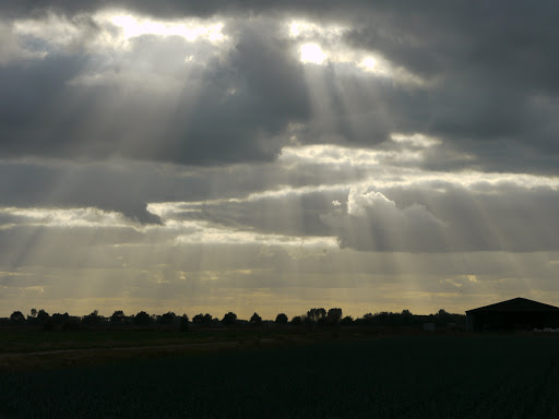
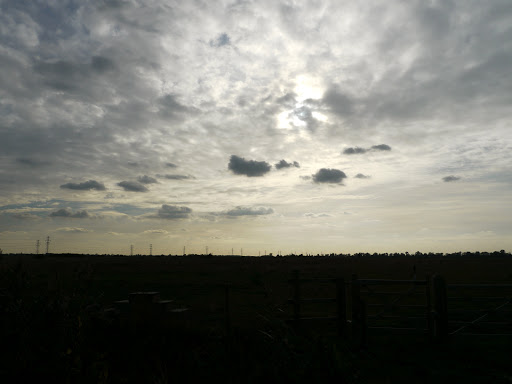
By under-exposing the picture a nice silhouette along with rays beaming down from the clouds.
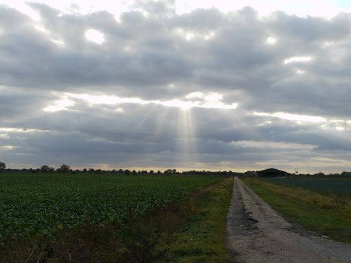
A normal picture taken just after shows that it was not really that dark!
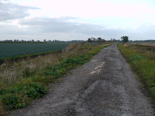
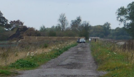
I took this one because there appeared to be a car up the road. I could imagine driving down here in a Land Rover and being good fun, but a normal car! I have done a bit of organised off-roading on private land and am amazed just how manoeuvrable Land Rovers are (actually a Range Rover).
Here is a close-up, they were out of the car, I wondered whether they were out shooting or maybe even some illicit country pursuit. In the end they drove down the "road" onto the track, were we passed and seemed to carry on to Reach. This seems like rather a long short-cut (long in time versus the faster road) . Shortly afterwards a white van took the same route so maybe it really is a short-cut!
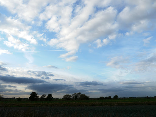
The sky looked different depending upon the direction, off to the North there was a patch of blue in the clouds.
Heading back through White Fen I came across some sort of organised activity, although quite what I don't know. Here are two people carrying a ladder and what looks like a spade off into the field.

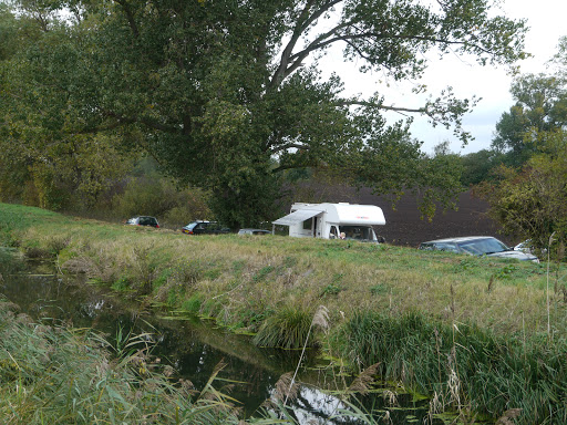
A bunch of cars were parked on the other side of Swaffham Bulbeck Lode, where the Camper Van seemed to be catering for the group. A quick search on the web has not yielded any information about it though. I did notice some green signs in the area, but did not take any notice of what they said.
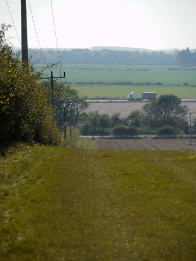
The next day was brighter and quite sunny, a quick look at Google Maps and having enjoyed cycling along the tracks I decided to take my Mountain Bike out and find at least one by-way I had not been on before. The first thing I noticed was how strange my MTB felt after cycling on my hybrid for the last few hundred miles. This was a by-way I spotted which connects the A1303 with the Swaffham Heath Road. This is a picture looking back down the track, the rise is only about 20m max, (it gets to a height of 34m) but had me puffing on my MTB. The lorry in the distance is on the A14 which runs in parallel to the A1303 which is at the bottom of the field.
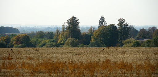
The great thing about a new track is that the same countryside looks quite different, here is the view towards Bottisham with the church spire just visible to the left.
This view is towards Swaffham Prior with two churches and two windmills. The by-way is to the right - a pleasant grass track my MTB was overkill for this - but so much nicer than noisy, dangerous roads.
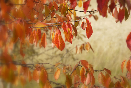
I turned off the Swaffham Heath Road (when I got there) onto a by-way that runs parallel with the A14. Quite a narrow track and I was glad to be wearing a helmet as the brambles encroach at head height. In fact I am never sure whether to look at the track or the brambles. You can't see much either side though., although occasionally there are some Autumnal leves to stop and photograph.
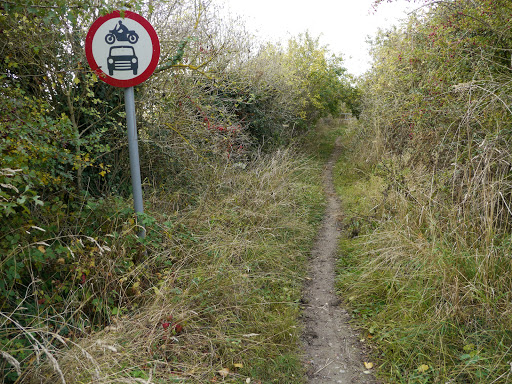
The track joins the Sustrans Route 51 heading towards Exning, from there I headed off along North End to a by-way that heads off to Burwell. Here is the entrance of the by-way. I am not sure how you would get a car up there - but good to see motor bikes are allowed as well.
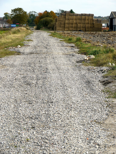
The by-way crosses the Ness Road onto a track that is used by the local farmers. Someone has put down some "gravel" which on my hybrid bike was almost impossible to cycle along and I cycled along the edge. On my MTB this was quite easy.
In Burwell I went up to Wicken Fen for a quick look around before heading back off to Reach. There was time for a photograph of the sky looking back towards Priory Farm though.
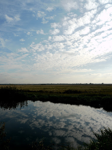
There was also time for a picture of the sky reflected in Burwell Lode, next to CockUp bridge.
Then time to try out the tracks between Reach and Upware on my MTB. I have also realised that these odd constructions that have appeared on various lanes are indeed to make it easier for horse riders to mount and dismount. They are generally found near to gates. Some of the gates have latches that could be reached from a horse, but better safe than sorry.
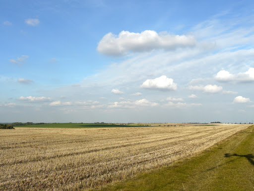
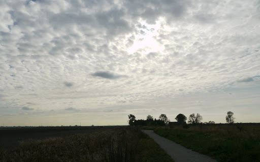
The sky needed another picture taking, the pylons are off to the left. Welcome to the wide open skies of the Flatlands of East Anglia.
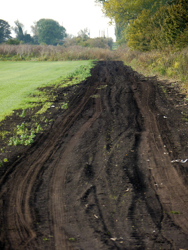
This bit of Rand Drove was impossible on my Hybrid with medium thickness tyres. it was easy on my MTB with much thicker tyres. I had made the mistake of pumping up the front tyre but not the rear tyre so the front tyre was a bit harsh on the muddy ruts and the rear tyre squidged over when going round corners on the tarmac.
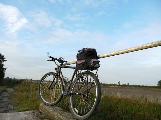
My MTB on the bridge over Commissioner's Drain - part of Straight Drove.
Then it was back home via White Fen after a lovely sunny afternoon cycling.
No comments:
Post a Comment