
I had a free Sunday - son chilling, daughter and wife in London all day and the sun shining so after a quick look at the papers and a leisurely start at around 10.30am I set off to explore the Fens around March and Wisbech. I fill my water bottles with as much ice as they will take and then top it up with lemon squash and water. It does not tend to stay cold for too long but is a lot lot better than nothing. Whilst there are lots of shops that open on a Sunday I find that many of the Sustrans routes tend to be quite far off the beaten track.
As I was planning to be out until early evening I pack some ham and tomato rolls along with some jelly babies. It was definitely t-shirt weather so I slapped on a load of sun tan lotion and headed off for March via Ely.
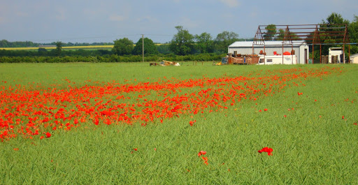
The great thing about this time of year is the colour that abounds - most fields tend to be mono-culture but there are still a small number that tolerate poppies. I assume that the farmer chooses not to use the latest pharmaceutical destroyer, either on cost or eco grounds. Apparently there are some sorts of weeds that would spoil the crop and render it worthless, presumably not in this case. I turned up the saturation on the photograph to give it "painty" look
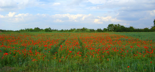
Another field, this time at Reach.
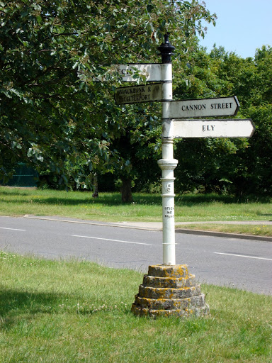
As I headed out of Ely on Sustrans Route 11 I managed to follow the signs this time, the route goes through a delightful village called Little Downham on a hill. Parts of it seemed to be in a time-warp. When I was a boy to pass the time on long car journeys you could get I-Spy books, which detailed things to look out for and you got points depending upon the rarity of the item. At the end you could compare you score with your siblings - although I think we were encouraged to co-operate - sibling warfare is not good on a long car journey. Anyway this road-sign was old when I was a boy and would have been quite a high score. It only indicates direction and has a "Stick No Bills " warning on the post.
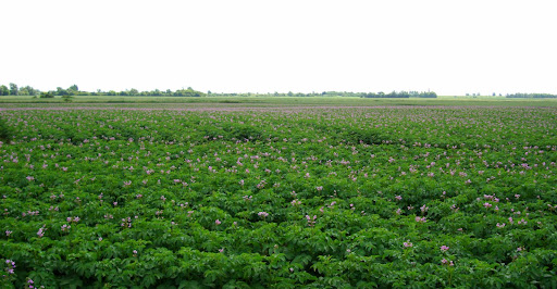
One thing that surprises me is that all the farmers seem to switch crops simultaneously each year. Actually it is not that surprising, they grow according to what the markets want and it must be more cost-effective to grow a small number of different types of crops. On my way through to March potatoes were the favoured crop - many in flower as here.
Most of the Oil Seed Rape fields are past the flowering stage at this point in the year, although there were some still in flower just before I reached March. Although it was sunny there were clouds in the sky as well - I really turned up the saturation on this picture to give it an even more "painty" effect.

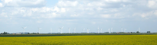
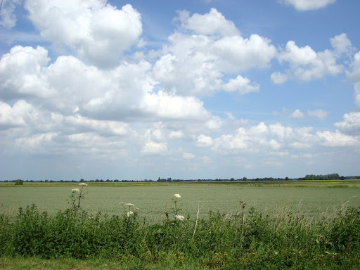
This is what it looks like more normally coloured. I took this picture of the Wind Farm - the latest "crop" in these here parts. It is so new it does not appear to be on the Google Maps satellite view. There are seventeen generators.
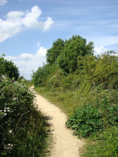
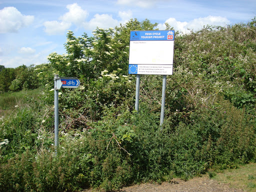
Finding my way onto the Sustrans route heading to Wisbech from March was a real pain, I ended up going almost around the town and then heading back to the centre. I wanted Route 63, but towards Wisbech. Even when I find the route there is uncertainty about which way to go as most of the markers just give the route number, only occasionally is there a post which gives the towns and directions. A general tip seems to be to head for the railway station, since they often have cycle paths serving cycling commuters. However in the case of March if you can't find the route then head for HMP Whitemoor - it is signed and has its own Wind generator. As it happens the cycle path goes along two sides of the prison and through a nature reserve alongside. The track follows and old railway line between March and Spalding. Unfortunately for train lovers the track has been lifted, but fortunately for cyclists (and walkers) the first part has been turned into a path.
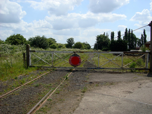
Here there are bits of the railway's heritage still obvious. Perhaps it is the railway signal that gives it away although the sheds further down are also characteristic of railway buildings. At this point the Sustrans Route is well signed - with what I should have realised is an important clue to the track conditions - straight on is the route to the right is the "Wet Weather Route".
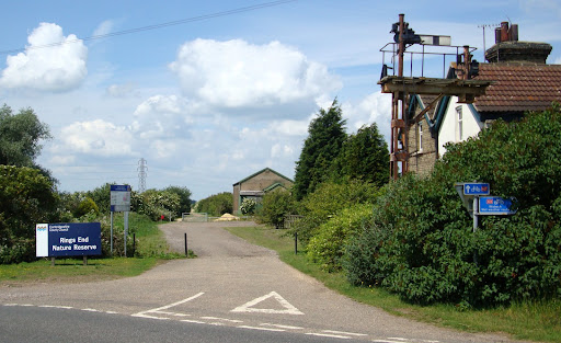
At this point it is clear that the route used to be a railway line. Where the trackbed has been raised, pits were dug alongside to provide the earth and now form interesting natural habitats - Ring's End Nature Reserve. This is where I stopped to eat my ham and tomato rolls and after several hours in the saddle (me) they (having been in the pack at the back) were nicely warmed by the sun!
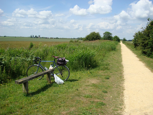
And what a view whilst sitting on the bench. I could also see the Wind Farm in the distance.
This route seems to have some distinctive "milefishtails" - 8miles /12Kms to go (to Wisbech),
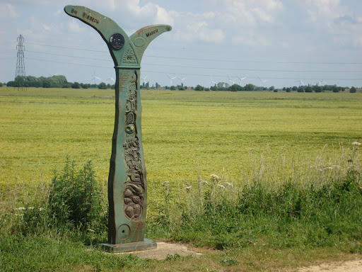
The route was partly funded by European Regional Development Fund. I thought this meant that there were other sources of money as well.
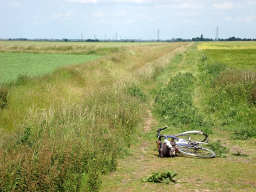
Then I saw what the route turned into. Now I am not so sure part-funded - part built? Even my bike had had enough and wanted to lie down. At least it was not a rocky, stony path of the type that breaks spokes like the last time I was out near March.
The track was not too bad, but I can see why they sign an alternative wet weather route. It took me past yet another disused railway line - there seem to be loads up here. This place was called Waldersea Depot and was part of the W & M Bramley Line. Some railway enthusiasts are trying to get this going as a Heritage Line - see the link for more details. It turns out that with the road congestion there is pressure to restore some of the closed railway lines around the UK - here is an article in the Times discussing the situation. It turns out that the Train Operators don't want to pay for it they want it to be paid for by housing developers building houses near the re-opened stations.
Once I reached Wisbech I had an even bigger problem trying to find the Sustrans Route 1 to King's Lynn, in the end I used my GPS to pick likely roads in the general direction of Downham Market. At one point I found myself on a "No Through Road" that had been bisected by the A47. I assume that they built the A47 but did not want to put in appropriate junctions and so simply closed the road it crossed. I guess the people living along the road were not too unhappy at having their road turned into a cul-de-sac. The advantage for cyclists is that you can follow paths as well. The road might have been cut but there was still a somewhat overgrown path. I managed to get through, only getting stung by stingles (what my son used to call stinging nettles when he was 3) once. It took a while to cross the A47 though and I had to run across. My route then took me onto the the A1122 - not really much fun, but on a Sunday the drivers were very courteous and gave me plenty of room when overtaking.
It was then round the houses at Downham Market to get onto a small road alongside the Great River Ouse. Looking at my route later that evening I discovered that I had been within 100m, before taking a big loop around Downham market, but there did not appear to be any convenient bridges.
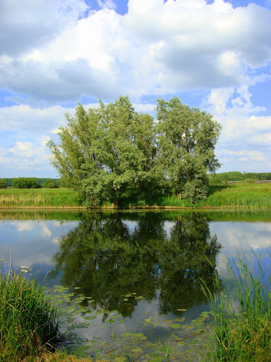
On the way down to Litteport on a road called 10 Mile bank the small amount of wind had died down making for some great reflections.
At one point, near Southery, Openreach (part of BT) had signs across the road saying it was closed. By this point I was getting tired - around 90miles/144Km covered and detours are not welcome so I carried on. I figured I could either walk past the blockage or hike over a field if necessary. In the end there was not a road closure - typical you can't believe everything you read.
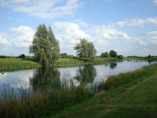
Some more tree reflections.
in the end I'd covered around 185Km/115miles - I did notice my lower back itched a little - a fact that became more evident when I eased myself into a hot bath. There had been a gap between my t-shirt and shorts and I had gotten sun-burnt - must remember to put sun tan lotion on that bit next time.
No comments:
Post a Comment